About
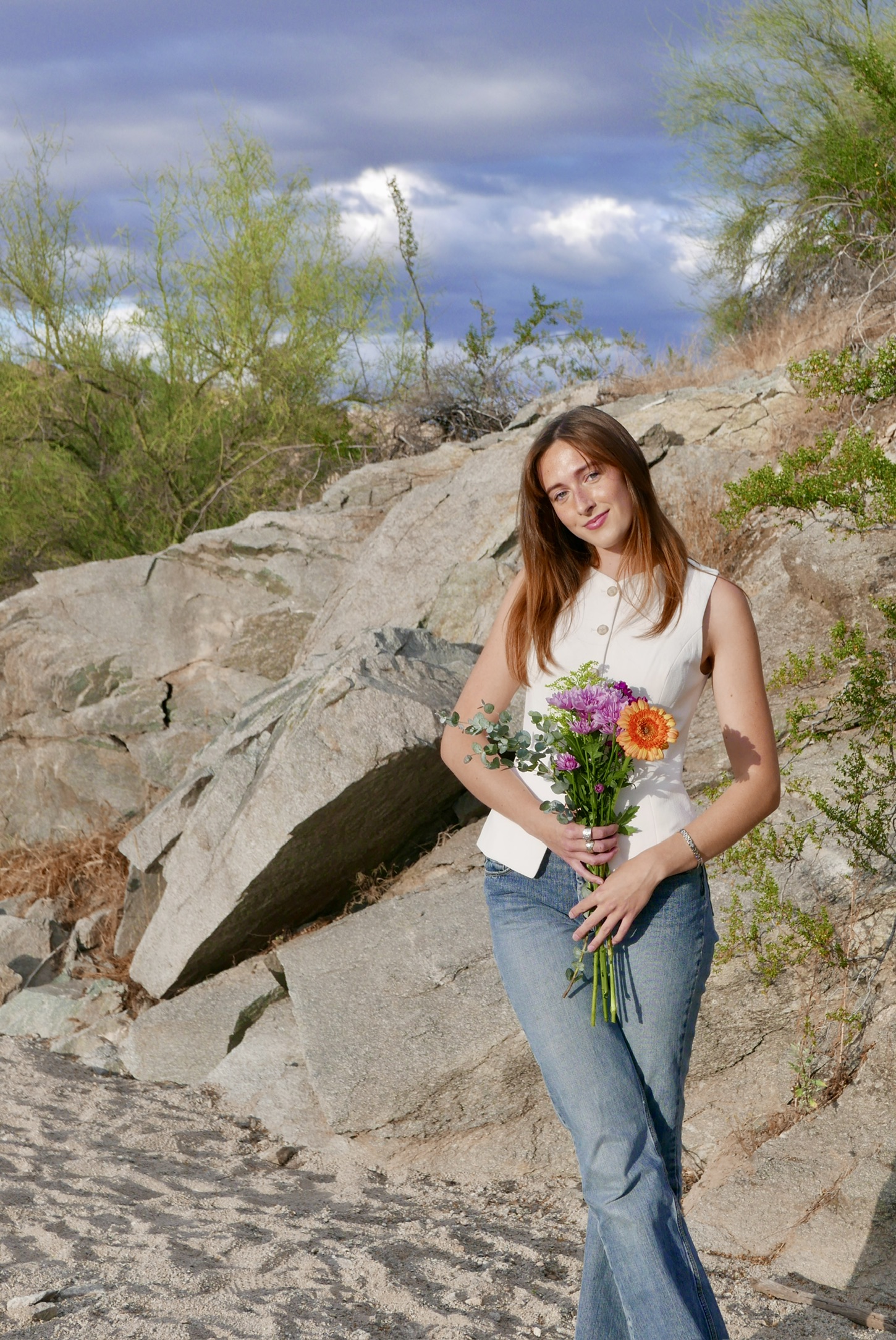
Who I Am
I'm a geospatial data analyst and environmentalist with a passion for using cartography to solve challenges. I combine my creativity, technical skills and complex-adaptive thinking to tell stories with spatial data. In my free time I enjoy hiking, bouldering, sewing, and making jewelry.
What I Do
From spatial analysis and cartographic design to environmental and social impact assessments, I build static or dynamic maps, and statistical models that help organizations make informed decisions. I have experience in coding (Python, R, SQL), data reporting, 2D and 3D catrographic visualization (ArcGIS Online(AGOL), Leaflet), interactive dashboards (Solara), statstical analysis, science communication, and leadership.
My Approach
Every project I undertake is driven by a commitment to accuracy, clarity, and a deep respect for the landscapes I am mapping. Above all, I am searching for clients with guiding values similar to my own: the use of technology as a force for good.
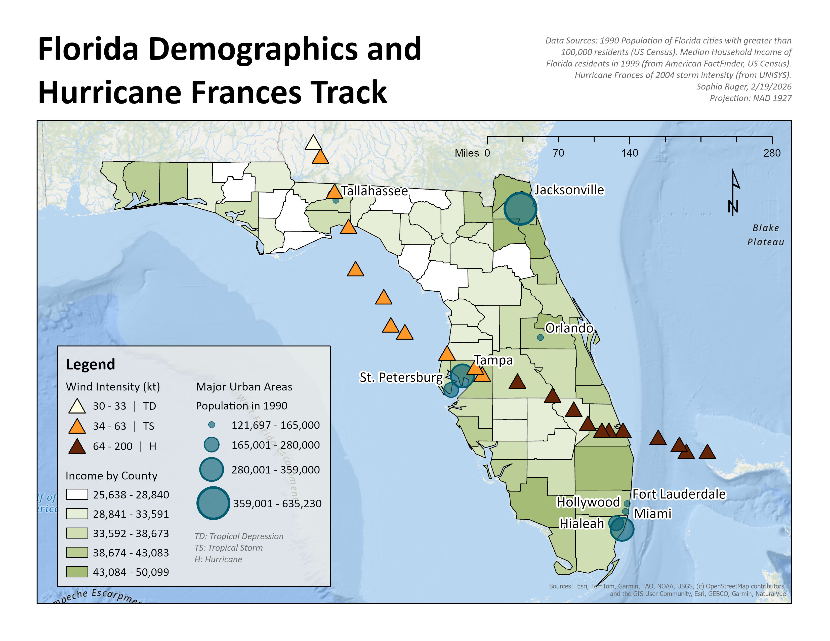
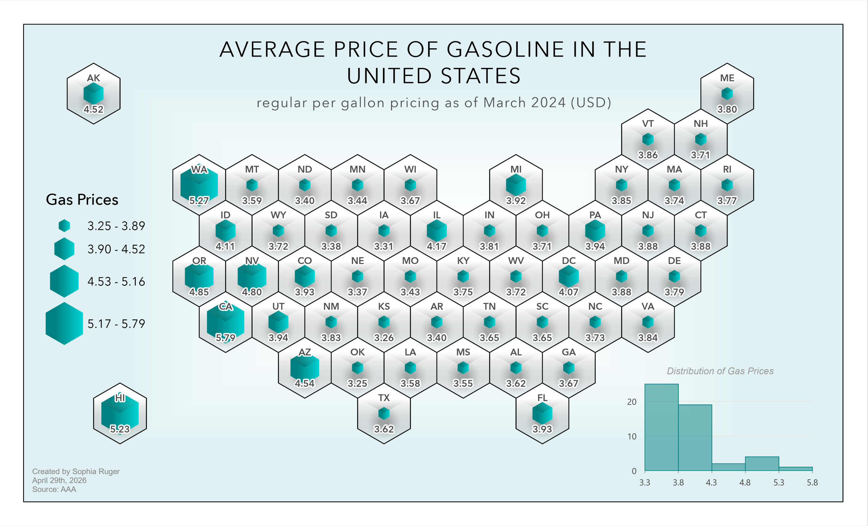
Map Gallery
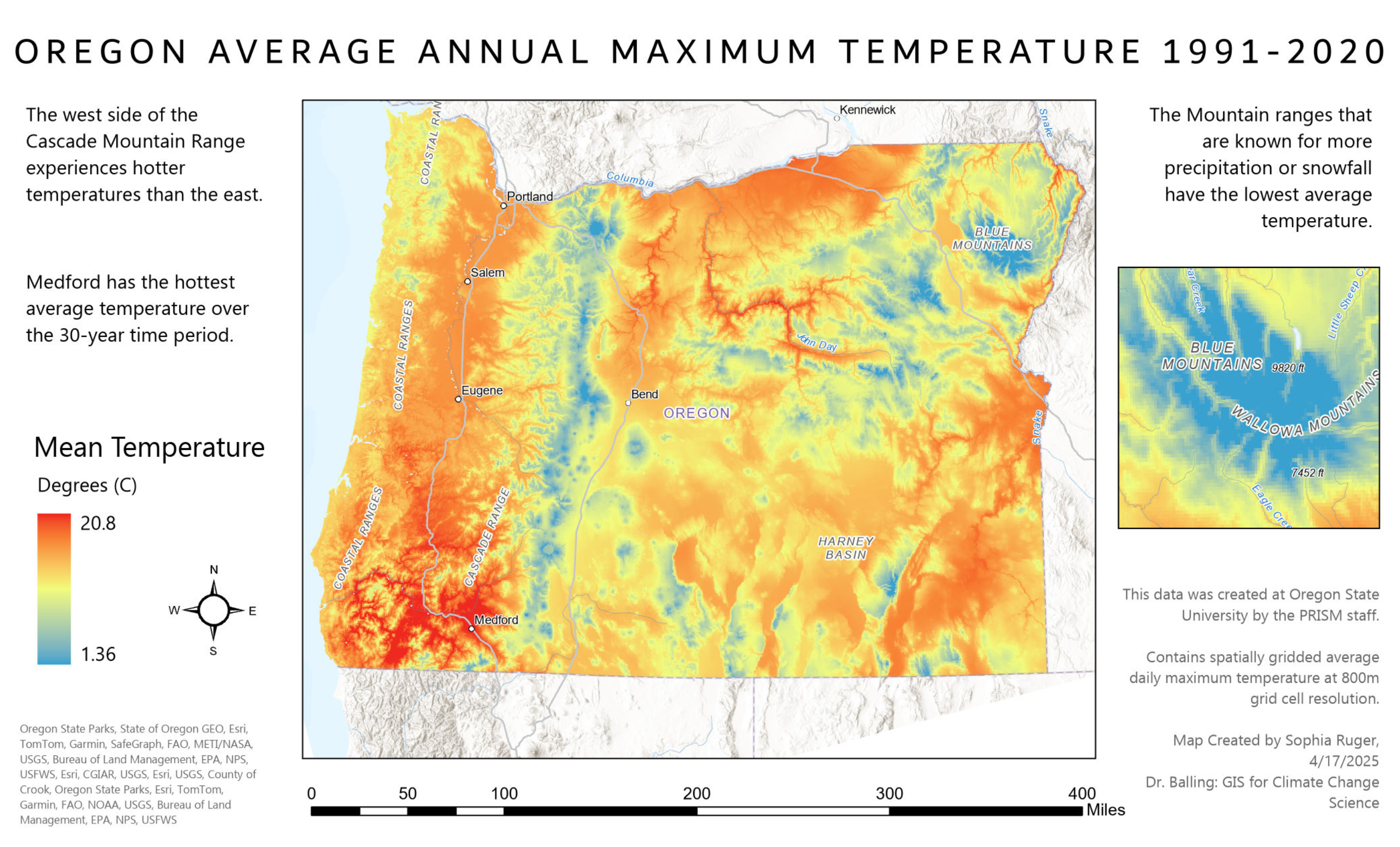
A collection of thematic maps I created to explore urban, social, economical and environmental dynamics.
Projects
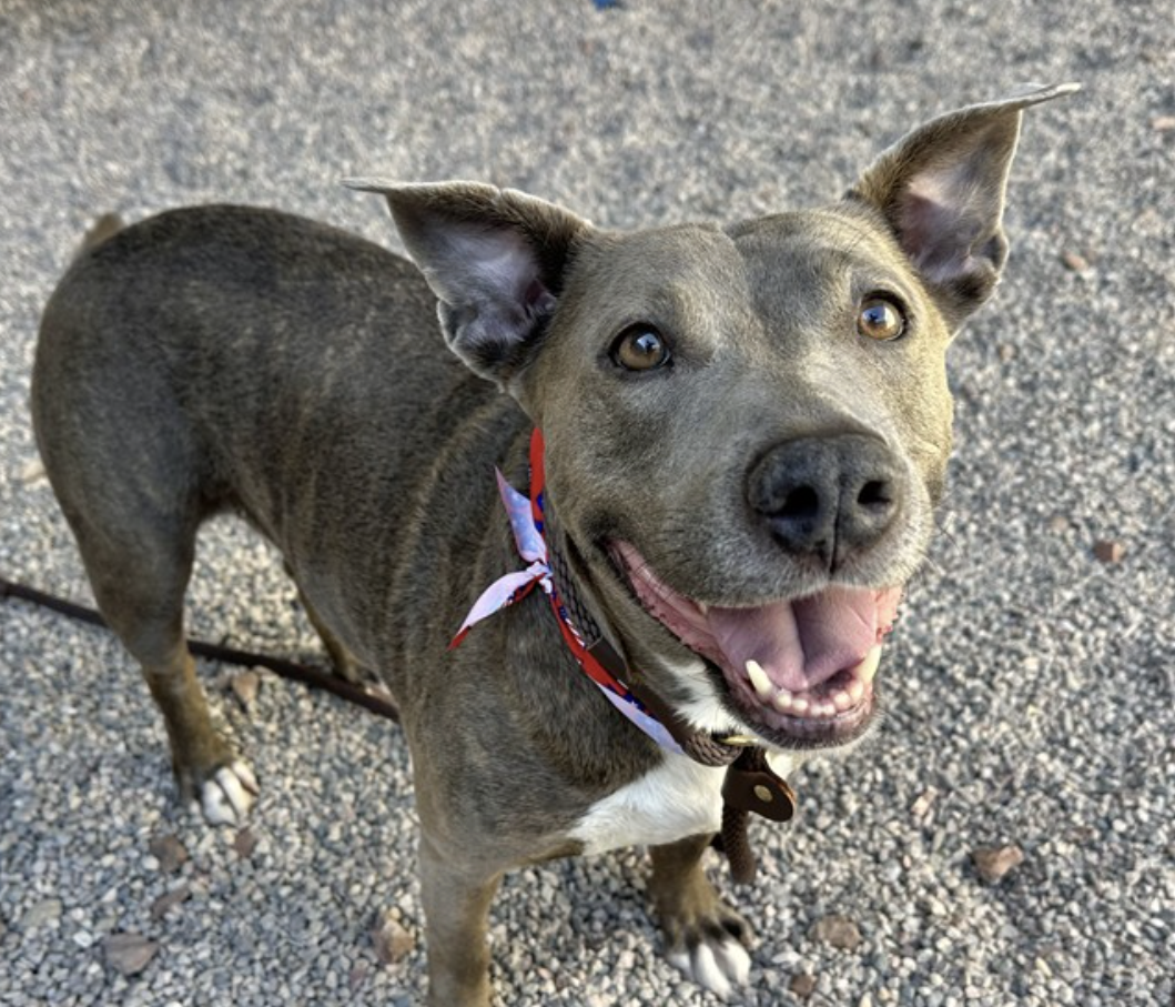
Dog Licensing Compliance
Multivariate analysis to examine pet owner compliance and target interventions for Maricopa County Animal Care and Control.
AGOL · Hot Spot Analysis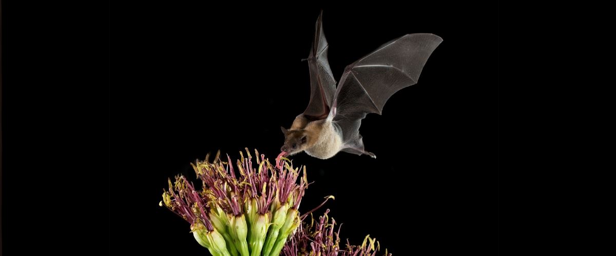
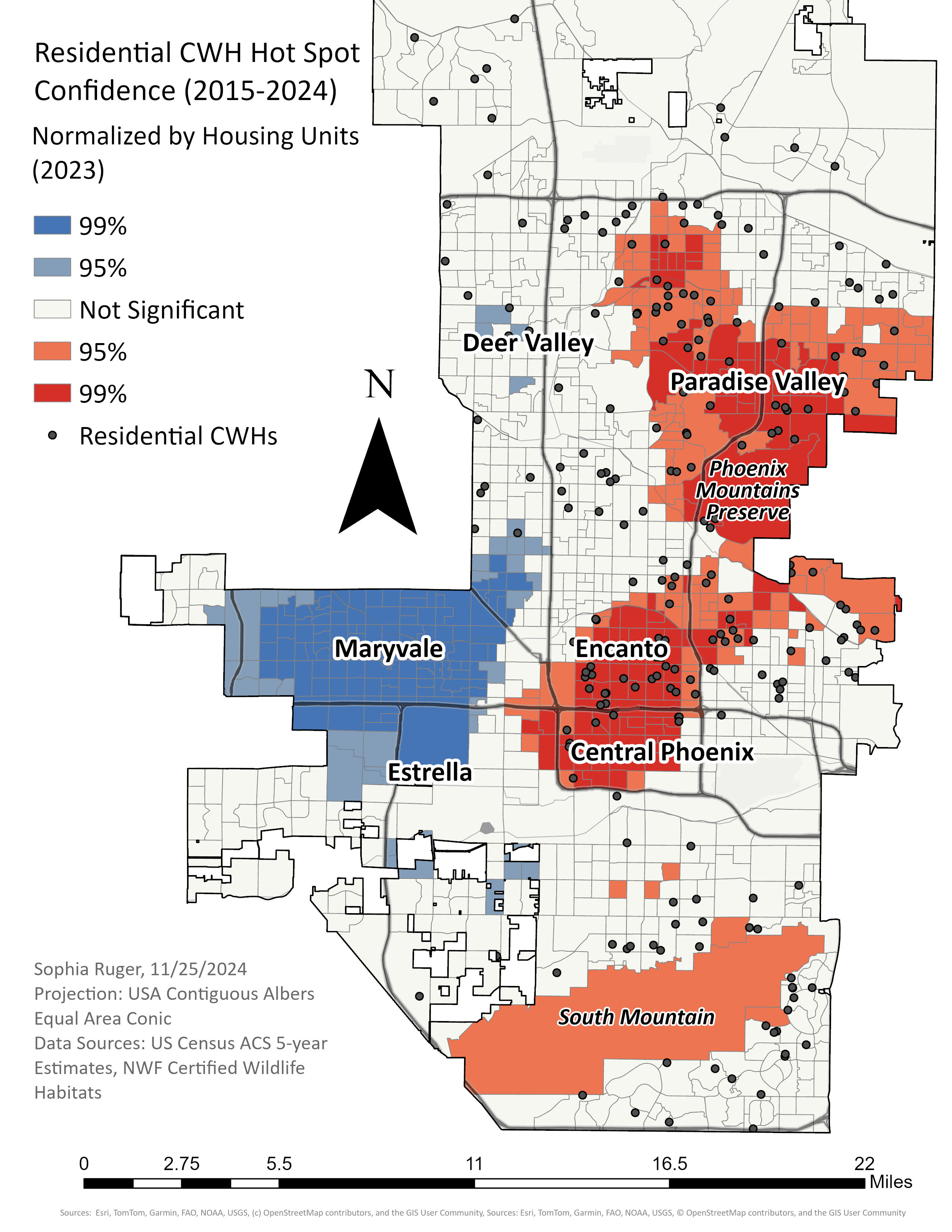
Spatial Trends of Urban Habitats
Cluster Analysis of Certified Wildlife Habitat over time and space in collaboration with the Arizona Wildlife Federation.
Ripley's K · ArcGIS Pro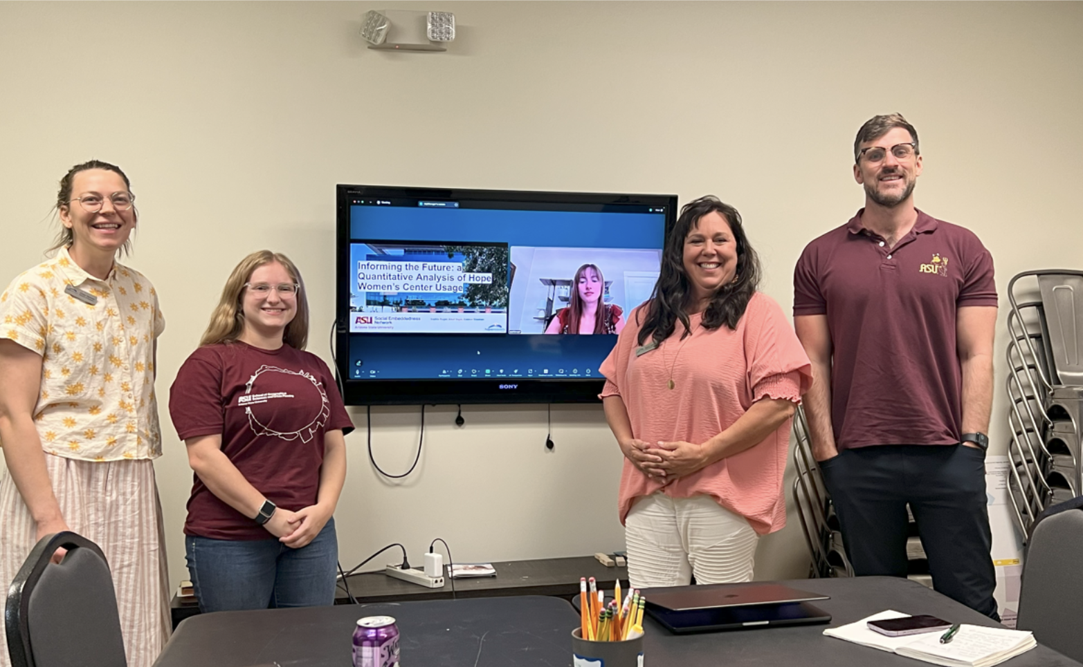
Mapping Hope: Using Data to Reach Women in Need
Quantitative reporting for one of Arizona's Largest Women's centers.
R Studio · Multivariate RegressionInteractive Mobility Tracker
Contact
Interested in collaborating or have a project in mind? Connect with me below.